
GOSHEN COUNTY – The National Weather Service (NWS) Cheyenne office said Goshen County will see sunnier, warmer but windier days before the next winter storm is expected to pass through.
This item is available in full to subscribers.
To continue reading, you will need to either log in to your subscriber account, below, or purchase a new subscription.
Please log in to continue |
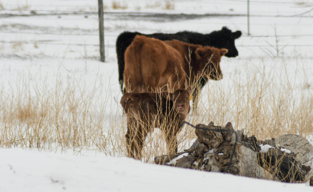
GOSHEN COUNTY – The National Weather Service (NWS) Cheyenne office said Goshen County will see sunnier, warmer but windier days before the next winter storm is expected to pass through. The county recorded eight to 20 inches of snow in the latest snowstorm with the most recorded snowfall reported in the northern part of the county.
NWS Cheyenne Meteorologist Lauren Kubelka provided the Telegram with updated snowfall totals Wednesday, following Tuesday’s blizzard. The newest snowfall totals do not include any snow that may have continued after 6 p.m. on Tuesday. Those totals won’t be available from NWS until Thursday after 9 a.m.
Snowfall totals from Tuesday’s blizzard through 6 p.m. are:
Jay Em: 15 inches outside of town limits and 20 inches within town limits reported.
Lingle: nine inches of snow reported.
Torrington: six inches of snow within city limits and five inches of snow outside of city limits reported.
Yoder: eight inches of snow reported.
Hawk Springs: 8.6 inches of snow reported.
LaGrange: nine inches of snow reported.
Veteran: 12 inches of snow reported.
Fort Laramie: 8.2 inches of snow reported.
“Starting Thursday into the weekend, conditions will be sunny, with high northerly winds peaking at about 30 to 35 mph and steadily warming up through the weekend into the start of next week,” Kubelka explained. “Goshen County will see temperatures in the mid-60s (degrees Fahrenheit) Friday but that will quickly warm to the mid-70s (degrees Fahrenheit) on Saturday and Sunday.”
“There is no storm expected, as of right now, through Tuesday,” Kubelka said.
The next week and a half will feel like the start of a spring thaw, but it will be relatively short lived as a new winter storm system has begun to make its way toward Wyoming.
A smaller snow band has reached the northwestern part of the state, however, NWS says it’s not expected to go past the Snowy Range and will have little to no impact on the eastern half of the state.
Meanwhile, Goshen will enjoy a slightly longer reprieve from Wyoming’s second winter blast this spring, however, a developing winter storm system could bring slightly lower amounts of snowfall than the last blizzard did, according to NWS. Currently, the weather service doesn’t have an expected timeline of when the storm might roll into Wyoming, or when it could bring snow to Goshen. The weather service said it could be as soon as next weekend if winds picked up and moved it along faster, or as late as mid-week the following week.
On Wednesday, there was a small band of snow moving across the very southernmost part of Goshen, near the county line; southern Goshen residents saw on and off snow showers; those totals were not measurable.
According to NWS, afternoon rain showers are expected Wednesday.
Wyoming frequently experiences what some call “second winter” during the spring months. Typically, Wyoming records its heaviest snowfall during the early spring months of March and April, into early May.
This latest blizzard buried other parts of the state; those areas reported anywhere from 2.2 inches of snow in the city of Laramie to 60 inches of snow at Casper Mountain.
NWS Cheyenne reported the following high and low snowfall amounts for southeastern Wyoming:
City of Laramie: 2.2 inches in city limits and two inches outside of city limits.
South Cheyenne/South Greeley area near the Colorado/Wyoming stateline: three inches of snow were reported.
Chugwater: reported 16 to 18 inches of snow, which included parts of Slater, down to Iron Mountain on the Laramie and Platte county line.
Wheatland: reported 12 to 16 inches of snow.
Federal also reported 13 inches of snow.
Lusk: reported the most amount of snowfall in southeastern Wyoming, recording 30 inches of snow.
NWS Riverton Lead Meteorologist Noah Myers told the Telegram the highest snow levels statewide were reported within the NWS Riverton region.
NWS Riverton reported the following high and low snowfall amounts for its region:
Riverton: 10 inches of snow in and around town, with some areas reporting slightly lower amounts and some areas reporting slightly higher amounts.
Lander: reported 12 to 18 inches of snow; 12 inches within city limits and 18 inches in more rural areas.
Casper: the city of Casper reported a range of 25 to 38 inches of snow, or an average of 30 to 37 inches of snow with the heavier snowfall being closer to the mountains and the lower snowfall amounts being closer to the plains.
However, NWS Riverton released a statement Wednesday indicating Casper Mountain recorded 60 inches, or five feet, of snow. This is the highest recorded snowfall amount statewide from this latest blizzard.
Wyoming Department of Transportation (WYDOT) released two WYDOT camera photos near Wind River off the U.S. Highway 26 and U.S. Highway 287 showing just how much snow nearly 60 inches is, with stop signs nearly completely engulfed by the snow.
According to WYDOT, as of 6 p.m. Wednesday, most southeastern Wyoming roads into, around and inside Goshen County were open and passable, cleared of snowdrifts caused by the latest storm. However, conditions along Wyoming 313 were still impassable and conditions that had been cleared were deemed very “slick” and a possible driving hazard. No additional information about current road closures were given in time for publication.
NWS Cheyenne said snowdrift amounts were about average and quickly cleared in southeastern Wyoming. However, NWS Riverton said they are still clearing snow drifts from this latest storm. As of Wednesday evening, most roads along the Goshen/Platte county line were still heavily laden with snow due to continuing snowfall throughout Wednesday, but roads along the Goshen/Laramie county line and the Goshen/Niobrara county line were clear.
“We will all be happier with some sunnier and warmer weather – even if it’s for a week or two,” Kubelka said. “The second winter push can bring and often does bring the most snow to Wyoming.”
Although spring weather is delayed or intermittent for Wyoming and Goshen residents, NWS says to expect there to be some snow to continue as the spring and summer rodeo and fair seasons kickoff due to it being a double, back-to-back La Nina weather season. La Nina weather seasons typically mean colder, longer and snowier winters for Wyoming and the northern half of the United States.


