
GOSHEN COUNTY – There is no doubt about it, it is severe weather season and Goshen County is no stranger to unpredictable storm systems. Storm season is just kicking off in the area and staying …
This item is available in full to subscribers.
To continue reading, you will need to either log in to your subscriber account, below, or purchase a new subscription.
Please log in to continue |
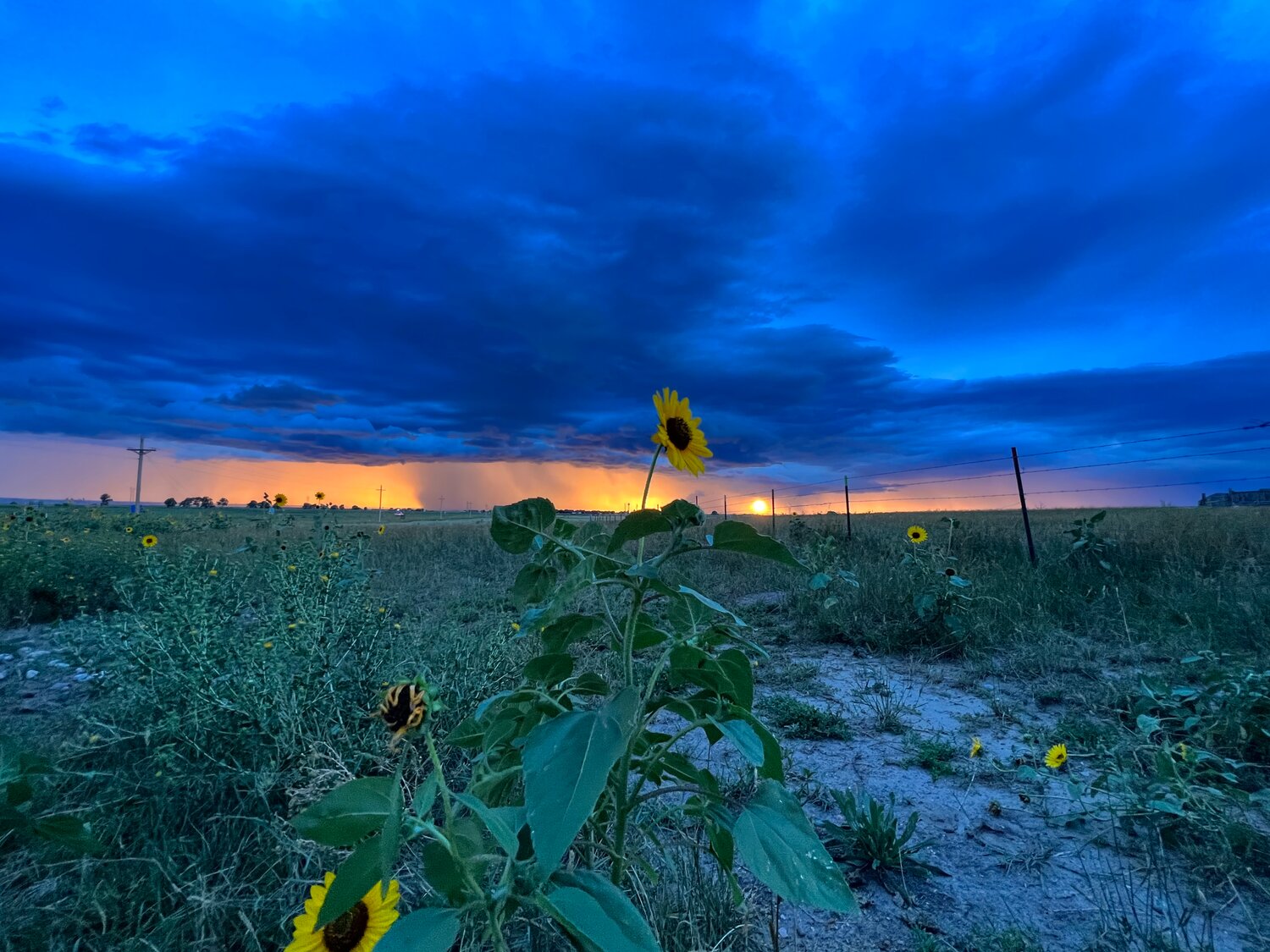
GOSHEN COUNTY – There is no doubt about it, it is severe weather season and Goshen County is no stranger to unpredictable storm systems. Storm season is just kicking off in the area and staying weather-aware can keep you safe.
According to Gerry Claycomb, lead forecaster for the National Weather Service (NWS) in Cheyenne, the spring weather systems are different each year.
“It changes each year,” Claycomb said. “Some years are bad, and some years are not so bad. Like last year was pretty busy, the severe weather season but so far this year it’s been pretty quiet.”
According to the NWS Understanding lightning: Thunderstorm development, a thunderstorm needs moisture and atmospheric stability.
“The third ingredient needed for thunderstorm development is something that will trigger motion in the atmosphere. This may be some sort of boundary such as a front, heating caused by the sun, or cooling aloft. Once a thunderstorm has developed, it will continue to generate boundaries that can trigger additional storms,” the publication continues.
“A severe thunderstorm is a thunderstorm that is capable of producing or producing hail to the size of a quarter. If you look at a quarter, it is about an inch in diameter,” Claycomb said. “Quarter-sized hail or gusts of 58 mph or stronger or is producing tornadoes.”
When severe weather is indicated by radar or ground-spotter reports, the weather service determines the necessity of a warning, according to Claycomb.
“Watches are issued when the ingredients are there for the possibility of severe thunderstorms. They aren’t occurring yet, but conditions are there, the instability, moisture, and lifting for severe thunderstorms. All of those ingredients are there but the storms haven’t formed yet but they are there, and they could form in the next few hours,” Claycomb explained.
“A warning, on the other hand, the storms are now occurring. They are strong enough that we feel that they could be producing large hail or strong winds or tornadoes,” Claycomb said.
“A watch means the ingredients are there, but the storms aren’t yet, and a warning is the storms are now happening,” Claycomb explained. “We either got a report of severe weather, large hail, or damaging winds or tornadoes. The weather is happening now, and we are warning downstream communities that the storm is heading their way.”
The best way to stay safe this severe weather season is to be prepared and know your weather, according to Claycomb.
“We offer spotter classes, free of charge, every springtime,” Claycomb said.
Having trained weather spotters on the ground helps the NWS in many ways, according to Claycomb.
“Radar is great. It has really improved our warning capabilities but there are times where, depending on the distance from the radar, we here at the weather service can’t see the lowest part of the storm,” Claycomb said. “As the further away you get from the radar, the storm is away from the radar, the higher in the storm the radar is sampling the storm. The radar is a straight beam that shoots out and the earth is curved so the further away you get from the radar the higher up in the storm the radar is sampling. It’s really hard to see what is going on in the lower part of the storm and that’s where tornadoes develop.”
Becoming weather aware also helps the community, according to Claycomb.
“If you have knowledge or training on what to look for at the bottom of the storm, you can alert your neighbors and alert us on what you are seeing. We base a lot of our warnings on what we are told from eyewitnesses looking at the storm,” Claycomb said.
Connecting with the NWS on social media can help keep you informed about the probability of severe weather.
“People need to be weather aware,” Claycomb said. “They can get the forecast from our Facebook page. We do weather stories every day on what the forecast is going to do in the next 24-48 hours out to seven days. If we see a big event coming, we start to advertise it on our Facebook and Twitter pages. You need to have a way to look at the weather and get the weather forecast. Either get it from your TV or on our Facebook page or the radio. You don’t want to be oblivious of the weather, especially in the springtime. We are kind of in the hail capital area of the United States from Denver up to Rapid City, we frequently have the most occurrence of hail and large hail on top of that too because of topography and everything,” Claycomb continued. “Hail is very frequent here, so you want to know the forecast before you go out hiking or making other outdoor plans.”
According to Claycomb, a NOAH weather radio will also provide weather warnings.
“All of our weather warnings that we send out, they get transmitted on the weather radio. It’s a good way to get our weather warnings,” Claycomb said. “There are apps on your phone that you can get certain warnings. Most phones now will alert you to any warnings that are sent out by the weather service, especially tornado warnings and flash flood warnings. You can opt into getting severe thunderstorm warnings too.”
Claycomb recommends planning ahead when scheduling outdoor activities.
“You want to be aware of what the weather is going to do that day and you need to have a way to get the warnings,” Claycomb said. “The weather radio is one, your cell phone is another. TV, local TV stations, will show our warnings as well and the radio.”
According to Claycomb, this is a busy time of the year for severe thunderstorm activity.
“This time of year is when we get our most severe thunderstorm activity from now through July,” Claycomb said. “We also have to deal with flash flooding, so you have to be aware of that. Especially during the monsoon season. The monsoon season comes up during the month of July into the first part of August. That is where we get tropical moisture from the Gulf of Mexico and the Mexican tropics. That is always a problem during July and early August where we can get quite a bit of rainfall in a short period of time, and it creates flash flooding up here.”
Due to topography, or the natural lay of the land, water runoff can be a problem for cities.
“Cities here like Cheyenne, Torrington, when we have a big thunderstorm that rolls slowly over the town, the hail that occurs will knock tree leaves and branches down and clog up the storm drain and that will create flash flooding in the town,” Claycomb said. “Once those storm drains are plugged up, that could become a big problem for people.”
Claycomb recommends staying connected with the NWS via Facebook or Twitter.
“We (NWS) are the local experts. The other folks are not from this area so I would rely on the local experts,” Claycomb added.


