

UPDATE: At 12:55 p.m. Friday, the National Weather Service in Cheyenne issued the following SEVERE THUNDERSTORM WATCH
171 IN EFFECT UNTIL 8 PM MDT THIS EVENING FOR THE FOLLOWING AREAS
IN NEBRASKA THIS WATCH INCLUDES 5 COUNTIES
IN THE NEBRASKA PANHANDLE
BANNER KIMBALL MORRILL
SCOTTS BLUFF CHEYENNE
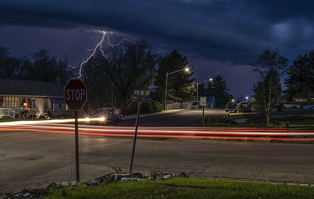
CHEYENNE – There’s a high probability of storms through the weekend, with chances of strong winds, moderate to large hail and even a few tornadoes, according to the National Weather Service in Cheyenne.
Chances are good for scattered showers and thunderstorms this afternoon (Friday) in portions of the Laramie Range, Shirley Mountains and surrounding areas of southeastern Wyoming. An active storm tracking through the area tonight is expected to bring below-average temperatures and greater-than-average precipitation to all of southeastern Wyoming and western Nebraska into next week.
Snow will be possible in the higher elevations, with increased potential for flooding expected.
Likewise, strong winds and large hail are possible, accompanied by very heavy rainfall, across much of east-central Wyoming and west-central Nebraska with this system. The greatest likelihood of severe weather will be in the period from noon to 6 p.m. today (Friday).
Carrying through the weekend and into next week, active weather patterns are expected, with periods of showers and thunderstorms. Additionally, heavy rains and cooler temperatures are expected, increasing the chances for flooding in low-lying areas.
Further to the south, in portions of central and eastern Laramie County and across the state line in the southwest Panhandle of Nebraska, expect strong to severe thunderstorms this afternoon and early evening. Strong, low-level wind shear and other instabilities suggest the possibility of strong winds, large hail and a possibility of tornado activity in the area.
The most likely times for severe storms in the southern areas is from 1 to 8 p.m. Friday.
Isolated thunderstorms are possible in portions of northeastern Wyoming into southwest South Dakota, but severe storms are not expected.w


